A quick note: this is a pretty emotional post for me. Trigger warning for negative self-talk. I’ll welcome notifications of any glaring mistakes/typos, but not any advice on my experience no matter how well meaning. Please keep in mind I did little research about Buddhism in general before I went and am learning. I’m still evolving my opinion on this, so my current views may not be what I wrote here.
What is Vipassana?
So what exactly is Vipassana? Their literature explains it better than I can:
Vipassana is a simple, practical way to real peace of mind and lead a happy useful life. Vipassana means “to see things as they really are.” It is a logical process of mental refinement through self-observation.
You spend the first three days practicing Anapana meditation where you observe the breath and sensations in the area around your nose. Then on day four, you start with Vipassana which is observing the sensations on your whole body sequentially. On the last day, you practice Metta where you practice feeling and sending out loving kindness for others.
As a new student, you must agree to the five precepts or sīla: to abstain from killing any being, stealing, sexual misconduct, wrong speech, and all intoxicants. You also enter Noble Silence, where you do not speak or interact with the other meditators – no gestures, miming, or eye contact. Basically, it is supposed to feel like you are there by yourself. You can speak to the Assistant Teacher or Course Manager with any questions or concerns, but not in any kind of way like yelling across the room. Always respectfully and quietly so as not to disturb the other meditators.
The daily schedule is rigorous. See below for the timetable:

So you see, this can mean anywhere from 3-11 hours of continual meditation depending on how diligent you are. The meditations and discourse are audio and video recordings of Goenka from the 90s (I think?) and the Assistant Teachers are there for questions at certain times (more on this later).
There are a lot of terms thrown at you and it can be daunting to try to absorb all of them at once, especially if it is your first time hearing the actual words. The main ones that seem to be used the most are:
- Dhamma – the law of nature and path to liberation
- sīla – morality
- samādhi – concentration
- paññā – wisdom
- anicca – impermanence
- equanimity – the English word was used the most, but it has a specific meaning relating to the practice: observing the mind-body phenomenon without creating a new reaction of craving or aversion.
- saṅkhāra – the reactions to bodily sensations that become habits and can be categorized into one of two camps: craving or aversion. These are the seeds of mental habits that lead to misery.
So the basic process goes – observe the sensations on all parts of your body in an orderly manner and not react to them. If you feel something good like tingling or warmth, that is the reality of your body at that moment, and you are to remember that it will arise and pass, constantly changing – anicca – and there is no use in creating an attachment to a sensation that constantly changes. The same goes for pain, no use in trying to avoid it, the sensation will arise, stay for some amount of time, and pass. Sometimes this process is lightning-quick and sometimes it makes you wonder if there are such things as permanent sensations. Reacting to the sensation with craving or aversion creates saṅkhāra and leads to misery. The mental conditioning of remaining equanimous will cause the saṅkhāra to pass and the deeper you go, releasing old patterns and conditions. It all boils down to observing the sensations of your body, experiencing the truth of your reality moment to moment and not reacting to it, realizing that each moment your reality changes, and there is no use in creating attachment to it. I probably got some of that wrong, so please don’t take my interpretation as any sort of teaching.
There is of course more to all of this, a lot more doctrine, but the point is not to intellectualize, but experience this reality in the framework of your body, to fully EXPERIENCE REALITY and remain objective. The end goal is to create no new saṅkhāra and become liberated, fully enlightened – a Buddha.
According to SN Goenka, the historical Buddha Siddhartha Gautama taught this technique as the path to enlightenment about 2500 years ago in India, and over time the technique was lost there. It was preserved in Myanmar (then Burma) and made its way back in the 70s with Goenka who opened centers to teach this method, eventually making his way to the States. His Dhamma talks or discourses are what you watch every evening where he’ll discuss the nuances and logic of the technique, give the history, and tell stories to really help it stick.
Always throughout all of it, you are asked to not just believe it because he says so or Buddha said so, but to seek the truth yourself and experience reality in your own body. It doesn’t matter if you end up not believing every little thing he says, Goenka just wants you to give the technique a fair trial. During your course, you are asked not to practice any other rites or rituals, not to practice any other sort of mediation or mix it with Vipassana, so as to keep the technique pure, and throughout the course, you’ll begin to see why he asks this.
Another thing expressed pretty frequently is that this mediation style is not a religion or sect, nor do you have to “convert” or give up your current religion if you have one. The Dhamma is universal which means Vipassana is non-sectarian – anyone and everyone can practice. They don’t accept money from outside sources as a way to keep it free from influence. The entire course is free for everyone, with everything being paid for by donations from old students. In fact, even if you wanted to donate just because you think it’s a good thing, you’d have to take a course first. They were transparent with their finances giving a slideshow presentation on their current budget. But don’t take my word for it, take a course and see. Or don’t, it makes no never mind to me.
Well anyway, that’s the barebones of Vipassana and once again I must emphasize please don’t take that as a lesson. If you are interested in their program, you can go to dhamma.org and see all there is to see and make your own decision if a course would be beneficial for you.

My Experience
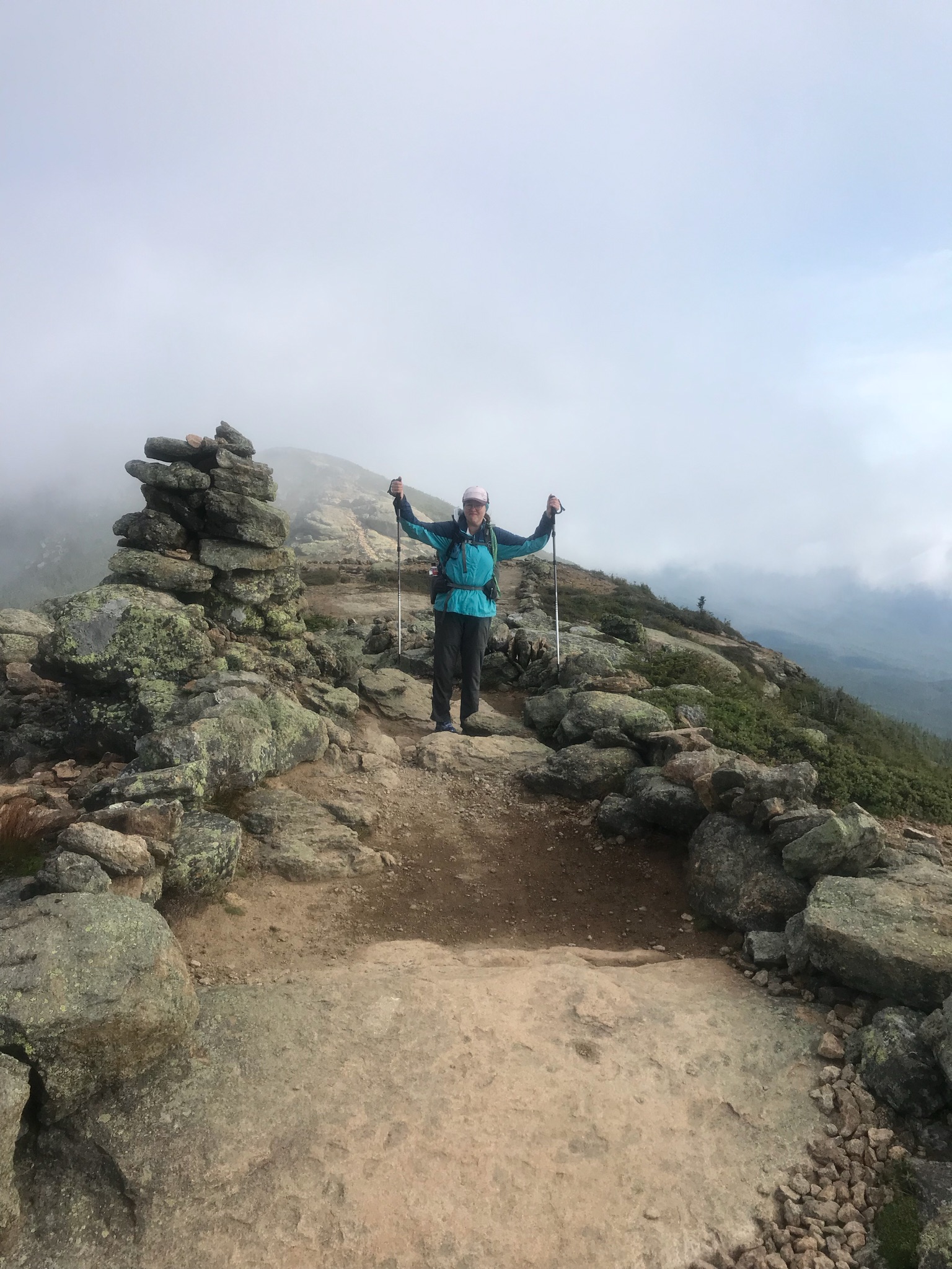
I was intrigued by this 10 day course as a way to force myself to meditate, with the ultimate goal of finding a way to quiet my noisy brainmeat. I’ve toyed with various forms of meditation over the years that never seem to stick or provide any benefit. As soon as I tell myself I need to do something (it will be good for me dammit!) the contrarian part of me starts to buck and then I never follow through. I think it’s called demand avoidance now? If I’m somewhere without a phone and in a structured environment, then surely I’ll focus on meditating! I read the website in all its 2003 GeoCities glory and decided to go for it – without much thought, gotta be tricky with Miss Contrary and just say we’re already doing this so get onboard!
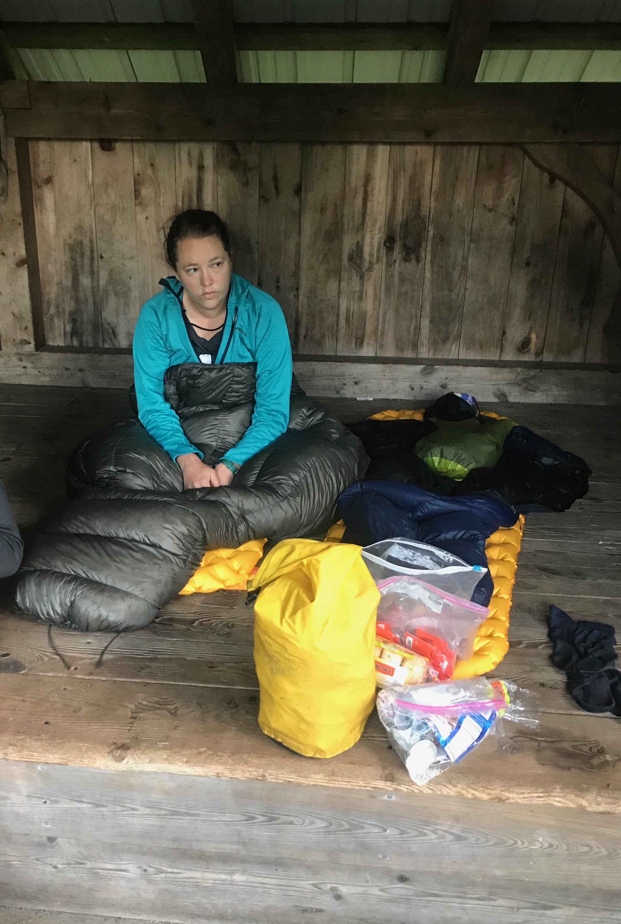
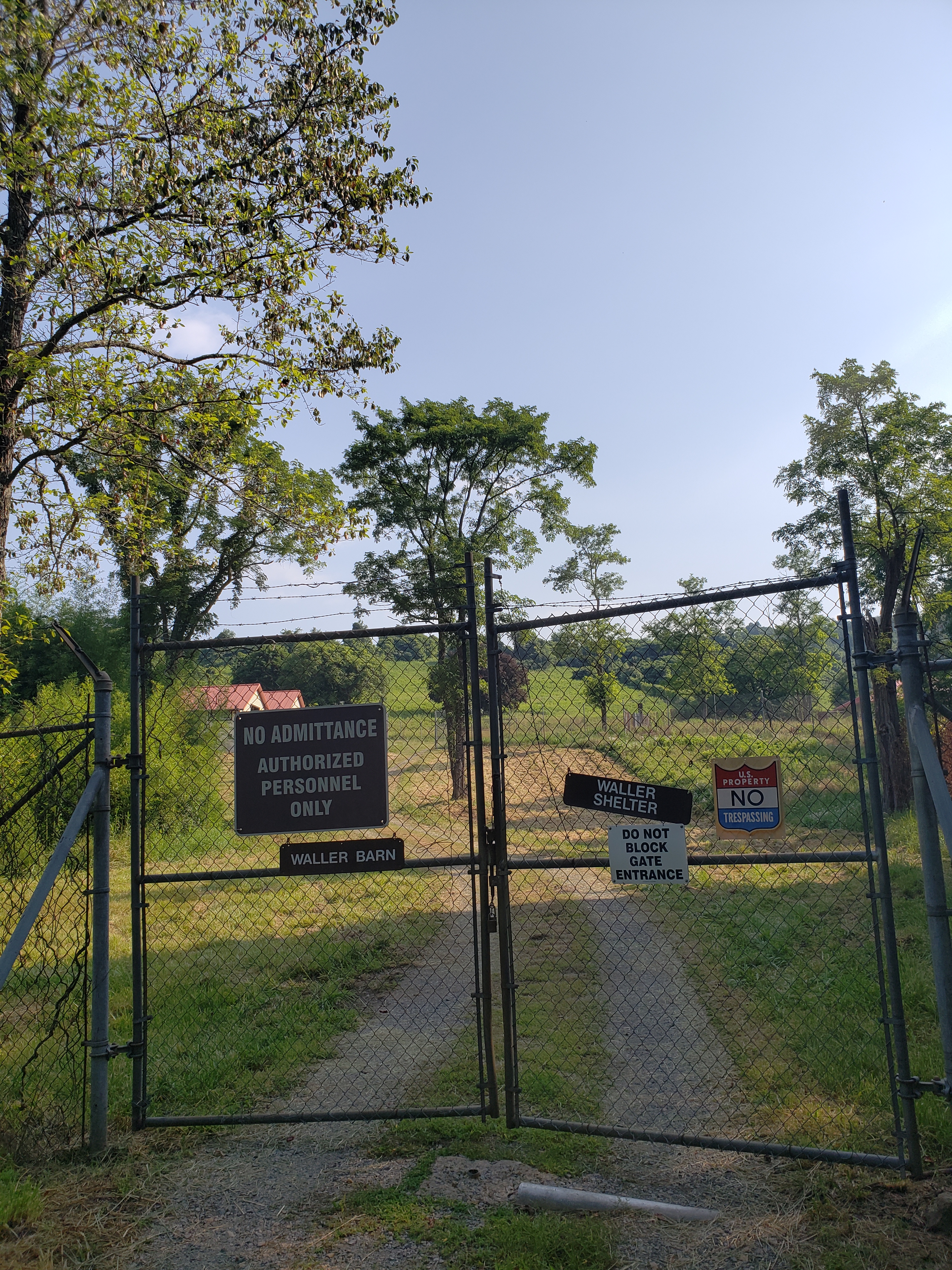
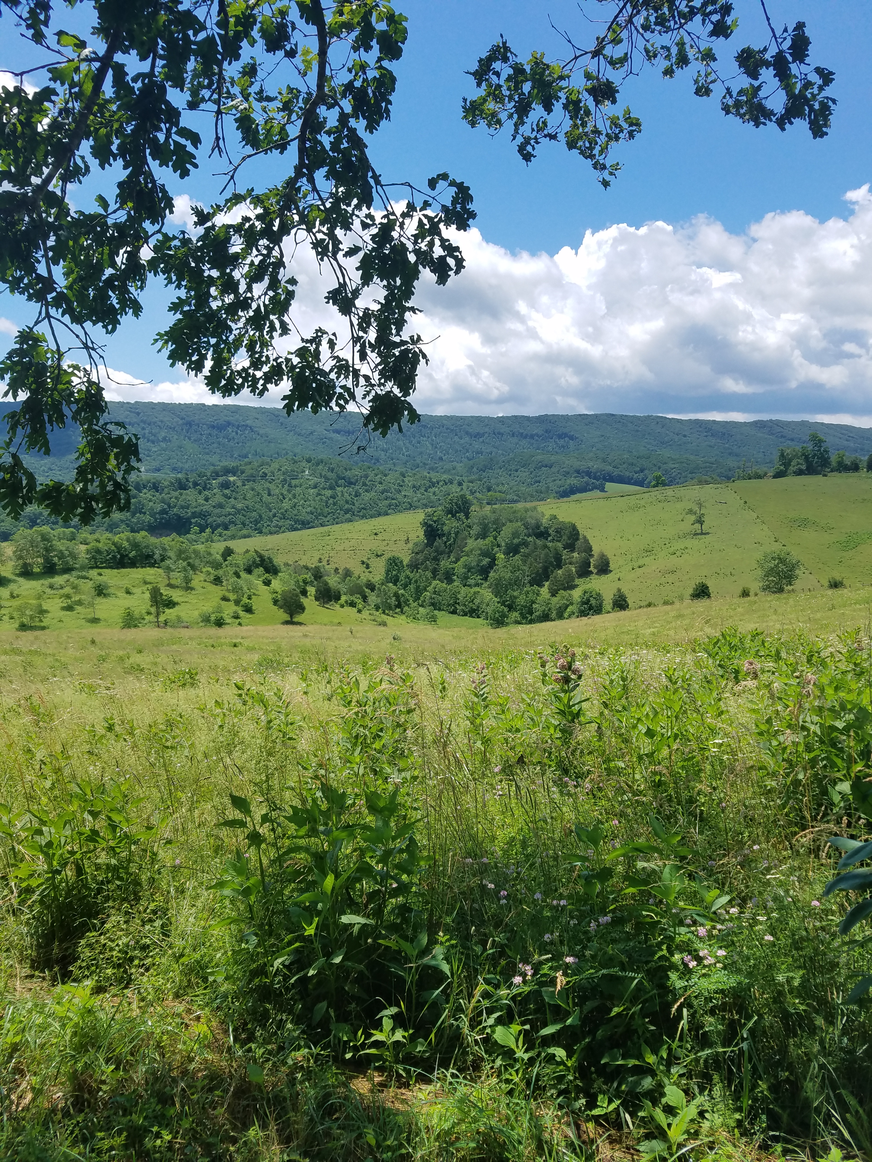
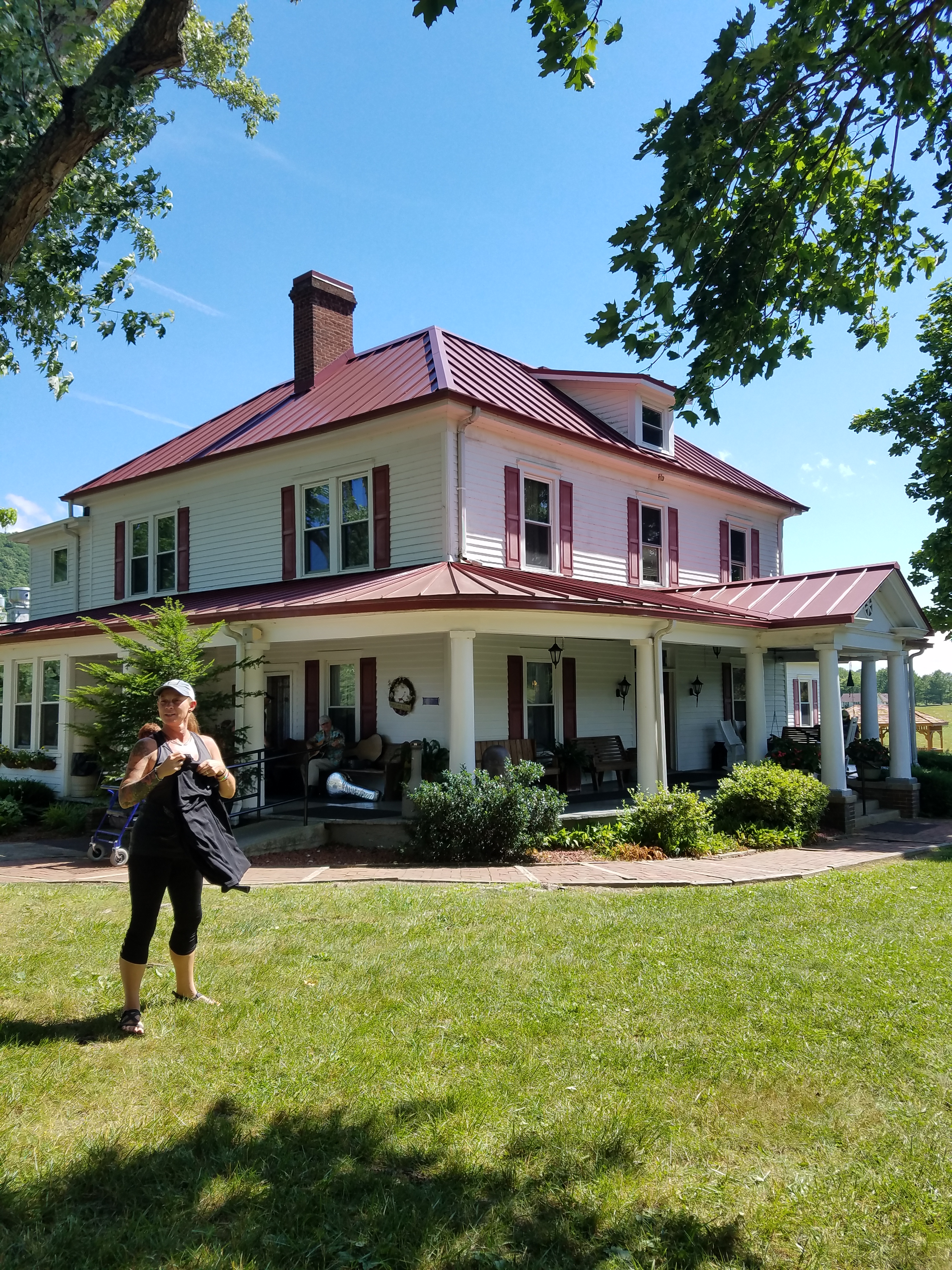
I drove to Jesup, Georgia bundle of nerves and agitation. I wasn’t exactly sure what I was getting myself into. Why didn’t I just book a nice beach vacation? Surely that would be more relaxing than sitting in the swamp. Dhamma Patāpa sits outside the crossroads known as Jesup off a dirt road in the middle of the woods. The campus consists of the Registration hall, the Meditation or Dhamma hall, the Dining room/Kitchen, and the Living Quarters. The women and men are separated and you only really “see” each other in the group sits. Each person gets their own simple room with an attached bathroom, and I didn’t realize this until much later but there is a meditation “cell” also in the room (though in mine it was a door latched shut from the outside with a slide bolt that had a combination lock on it. Until I was informed of the code on Day 6, I thought it was just a closet they reeeeallly didn’t want us using.)

So day one, I got there, got my room all setup, sat in the blessed A/C, and waited until 5 for dinner, after which there was a presentation and an intro meditation in the Dhamma hall. That’s when Noble Silence started. I saw in various sources that people had a hard time with the silence. I thought it was a relief. How delicious! I didn’t have to talk to anyone and think of the proper things to say. I didn’t have to look anyone in the eyes and judge how often I could look away without seeming uncomfortable or weird. I didn’t have to interact and constantly judge myself on my performance. OH GOD HOW DELICIOUS. (Also I hadn’t realized how much I talk to myself out loud.)
The first meditation is just watching your breath and the area around your nose. I quickly got bored with this and it became very apparent with a brutal swiftness how LOUD and OUT OF CONTROL the noise in my head was. When you take away all the outside noise the only thing left is the internal chaos. I already knew going into this that I was distracting myself on the daily with all the social media doom scrolling, TV show binging, obsessing over various hyper fixations, etc. I just hadn’t realized how loud the noise in my head had gotten to counteract all the distractions. I also hadn’t realized how much pain and tension there was in my neck, shoulders, and mid-back. It all got rather overwhelming and I was bored by not having my constant companion – my phone for those quick dopamine hits.
How was I supposed to concentrate with all this noise going on? Also just observing your breath and nose area is monotonous, though that’s the point: to sharpen your mind. So you can observe the gross (as in large & discernable, not the icky meaning) and subtle sensations.
That first day, I mostly spent berating myself for “not doing it right” and the more I told the noise to shut up, the worse it got. Tinnitus laughed the loudest. However, I started to see a pattern. There was the Narrative Voice, the Ego, the main “I, me”, who really wanted to be helpful and describe/narrate everything going on. There was the Demon Voice who said really nasty mean things. The Harpy Voice who whispers all the cringe/stupid/inconsiderate/hypocritical things I’ve done in a real tricky way. There is the Daydreamer who likes to fantasize about the future. The Planner likes to make lists and be analytical. Then there is the Higher Self (who’s that – never seen her) or the Metta voice that quietly works with loving patience for my own good, even if I don’t recognize it. It was her that sent me here.
I didn’t know it was working as it should. Becoming aware. Once I recognized the voices as something that were there, they just seemed to get louder. There was also a NON-STOP reel of Paul Simon’s “You Call Me Al” running in the background. But eventually and we’re talking Day 8 here, the noise seemed to get quieter, more of a background noise I could ignore. And when the voices did pipe up it was easier to slide back into concentration on the sensations.
When you are in the group sit at the Dhamma hall everyone is arranged in a grid with a large pad and pillow to sit on. You have assigned seats so I began to think of the few women around me as my Pod Buddies, and with little to do, began observing them (not in a creepy way) – just making note of the way they expressed themselves even without speaking.
There was the Doctor (who had a coffee tumbler I saw at meal time stating she was not Ms/Miss/Mrs, but Doctor so and so) who seemed to have a very upfront and confident manner. She lived in a sunny area based on her tan and in fact, once we were allowed to speak the last day, found out she lives in Florida. There was the Kneeler who was very serious and quiet, walking slowly but not depressed seeming – just concentrating. There was the Golden Retriever (I AM NOT CALLING HER A DOG) she just had that energy. I clearly read her excitement one day when we had Rosemary Mac n’ Cheese – she was practically bursting with it.
I know we were supposed to pretend no one else was there, but that’s pretty impossible when you are eating/walking in near proximity to 25 other women. You have to be aware of their movements, which is why it was easy to observe their personalities as well. Other women were so quiet and subtle that they were practically invisible.
On the second day, I maimed a gecko. Not purpose, I swear! They provide empty big yogurt containers and a piece of cardboard to gently escort bugs and various intruders outside (remember: no killing any living beings). I came into the Dhamma Hall for group sit and spied a gecko in front of the Doctor. She was already settled in on her cushion, ready to meditate, so I got the Bug/Intruder Transporter to relocate the gecko outside. Surprisingly the gecko didn’t dart off as soon as approached. I’m not sure exactly what happened, but somehow when I put the container over the gecko and tried to slide it onto the piece of cardboard, the little guy’s tail got chopped off. It sat on the side of The Doctor’s pillow still wiggling. I stared. She stared. I was silently trying not to laugh/freak out. I tried to scoop up the tail, but it kept wiggling away. I decided to move the gecko out first – sans one tail and put it outside in the bushes with a fervent plea for forgiveness. I came back with a tissue to relocate the still-moving tail to the trash can. Meanwhile, The Doctor is trying to valiantly not make eye contact and laugh. I finally sat on my cushion and spent the next ten minutes ruminating on the whole event.
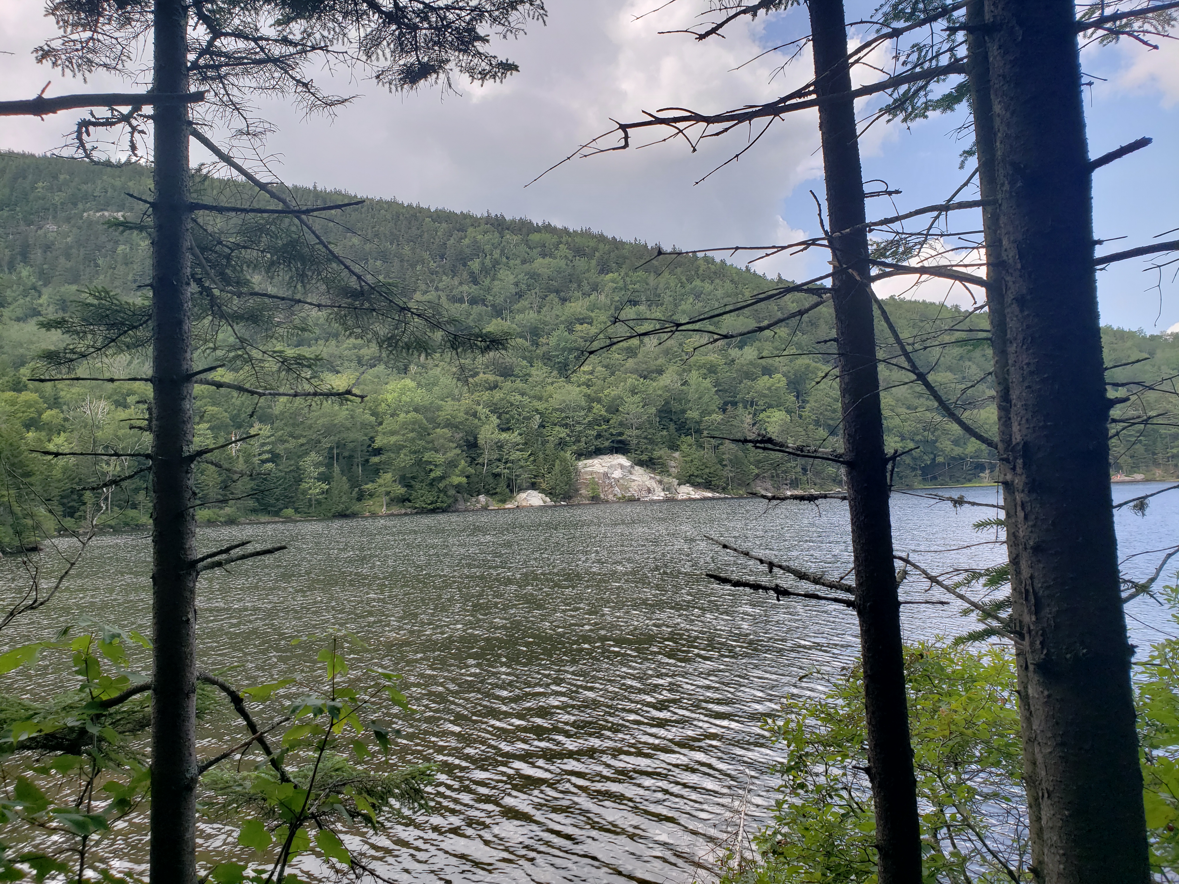
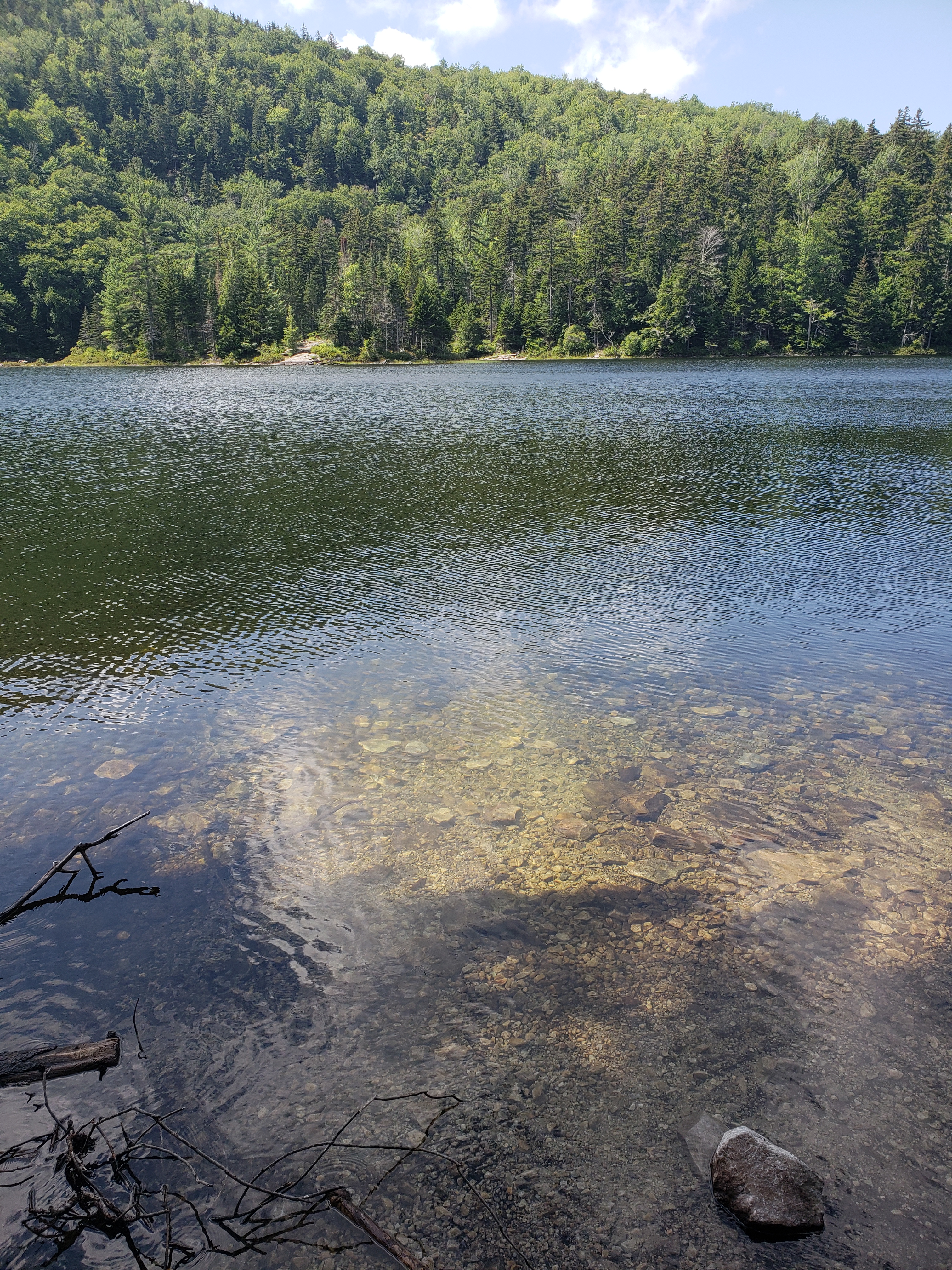
When you don’t have outside distractions, you tend to make your own entertainment when not actively meditating. Near the Dining Hall is a small Lily Pond that has a few fish in it. We were explicitly told not to feed the fish no matter how long they longingly stared at us. Around the pond are situated various seating areas where you can sit and stare at the carpet of the lily pads on the surface. If you stand on the dock long enough, the fish start appearing near the surface. There’s only about 4 inches of visibility – she murky. The smaller fish appear first, then the middlin fish, then finally from out the darkness will emerge a big ole catfish who does a couple of sweeps, deems no food is forthcoming and then disappears to “the depths”. I called this Fish TV.

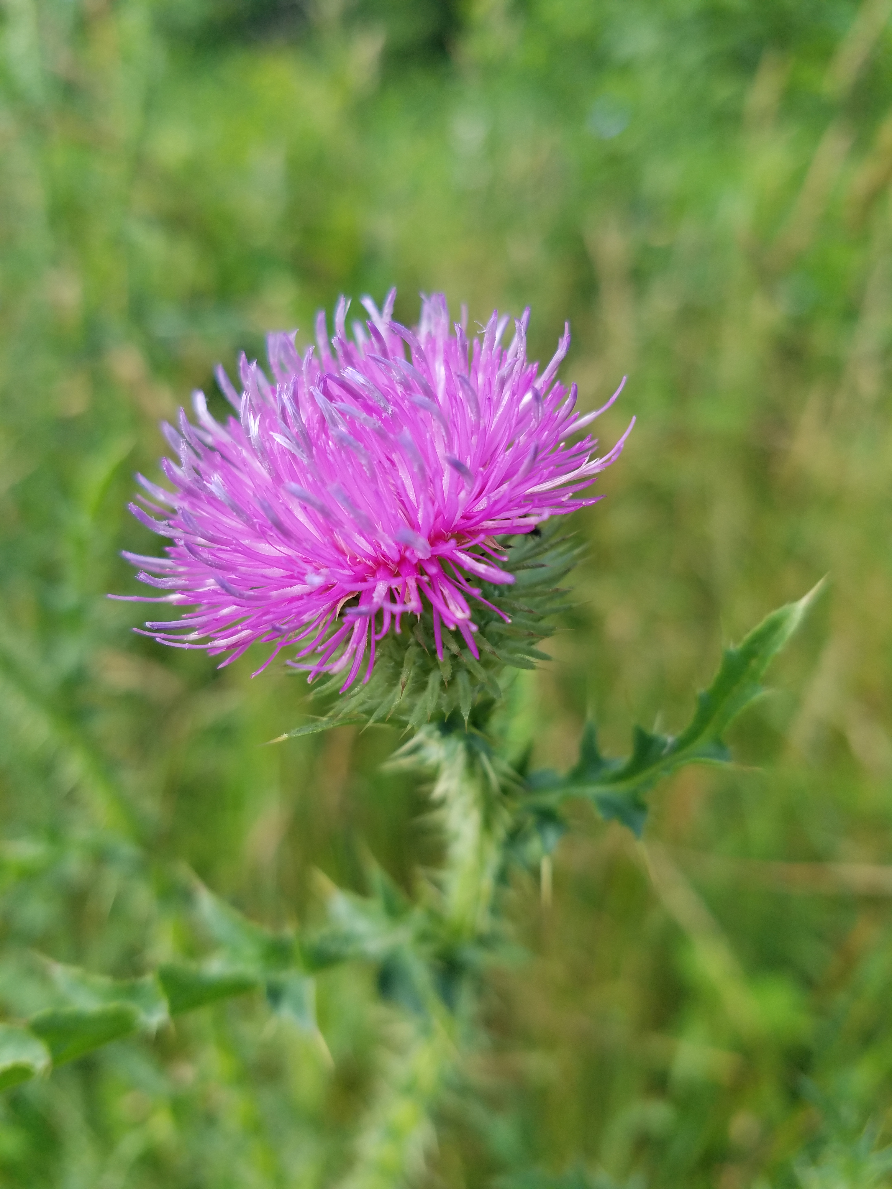
And then there was the Butterfly Show. Close to the windows, there was a large butterfly bush that predictably, attracted butterflies. I saw Monarchs, some Swallowtails, and what I was calling the Yellow Flappies – all yellow smaller ones that seemed to just flap about. Watching them go about their daily business tended to calm something in me. Seeing that work just happen naturally and without seemingly much effort. There they were living their butterfly lives collecting food.
By my living quarters was a smaller pond – more of a bog really, surrounded by large bushes so you couldn’t even really see it. It was full of croaking frogs that started their show at dusk. You had to pay careful attention when walking back at night to not step on them when they hung out on the walkways. One night there was a large thunderhead that was putting on a show of summer lightning (the horizontal kind without the thunder) right above this bog with all the frogs singing their chorus. I stood out in the grass for about 30 minutes looking up at the light show and vibing to the Frog Town song below.
One morning coming back from my 4:30 sit, it was still dark and there was a mist carpeting the ground. It was just barely starting to lighten and off to my left I was startled to see a family of four deer and one fawn illuminated by the walkway lights. They were peacefully grazing against a backdrop of towering pines with the morning mist curling around their hooves. I stared and stared. They kept on about their business until whatever instinct told them it was time to melt back into the darkness.
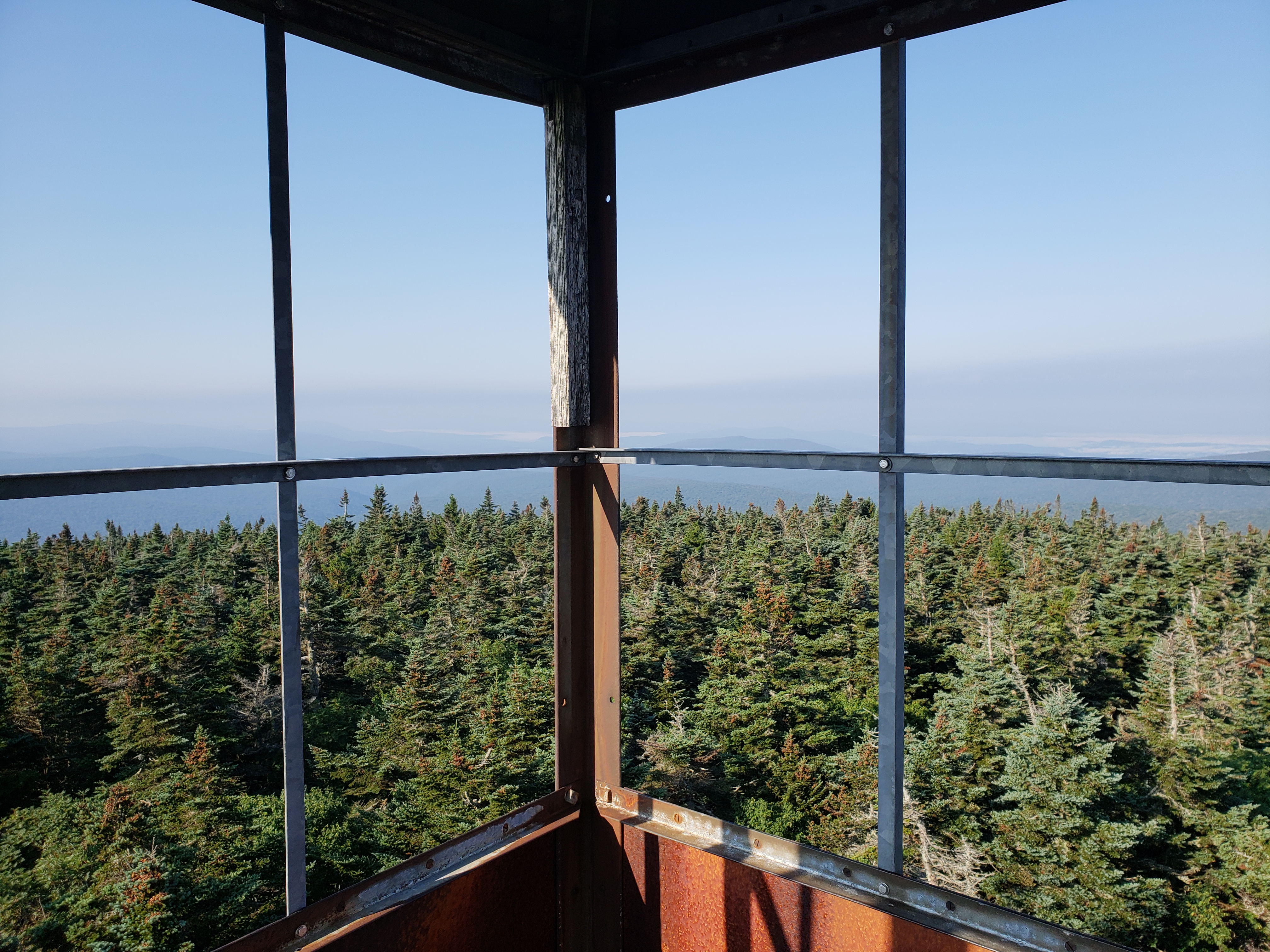
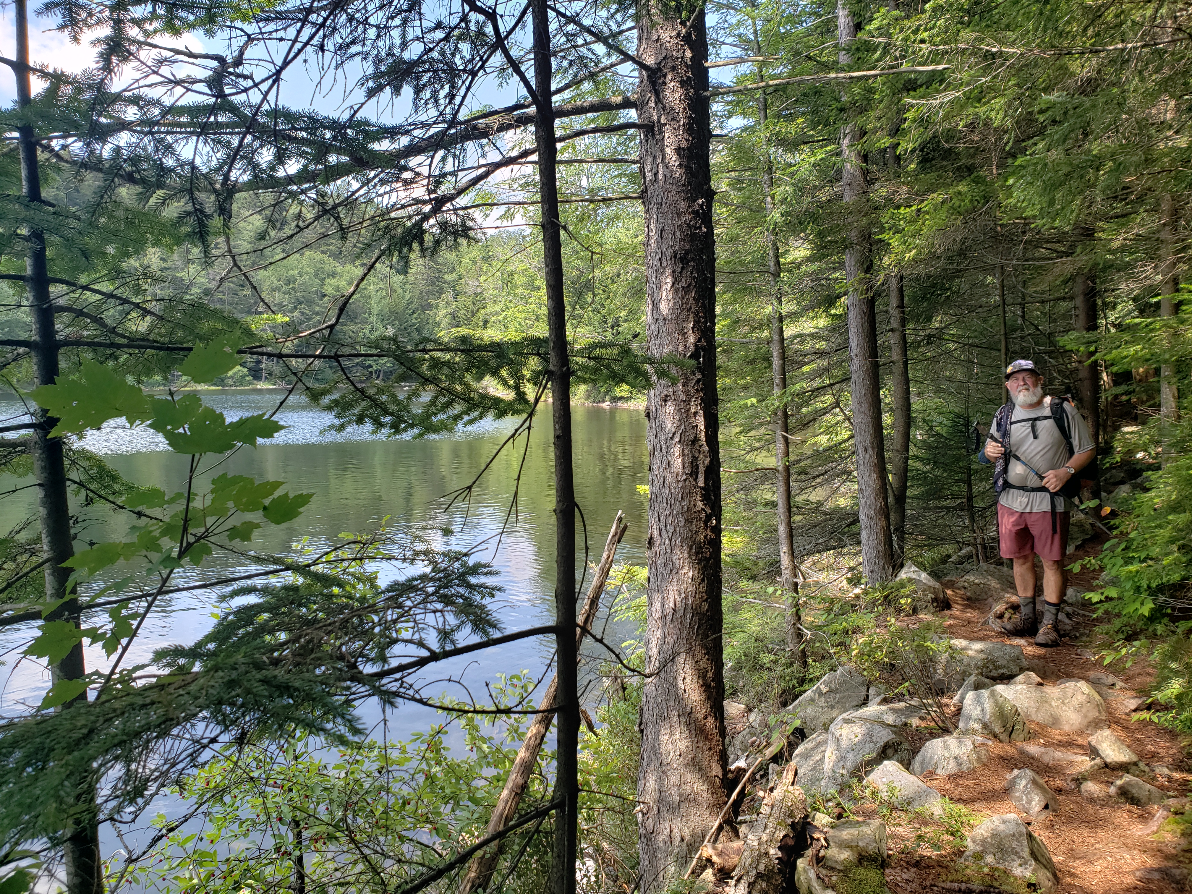
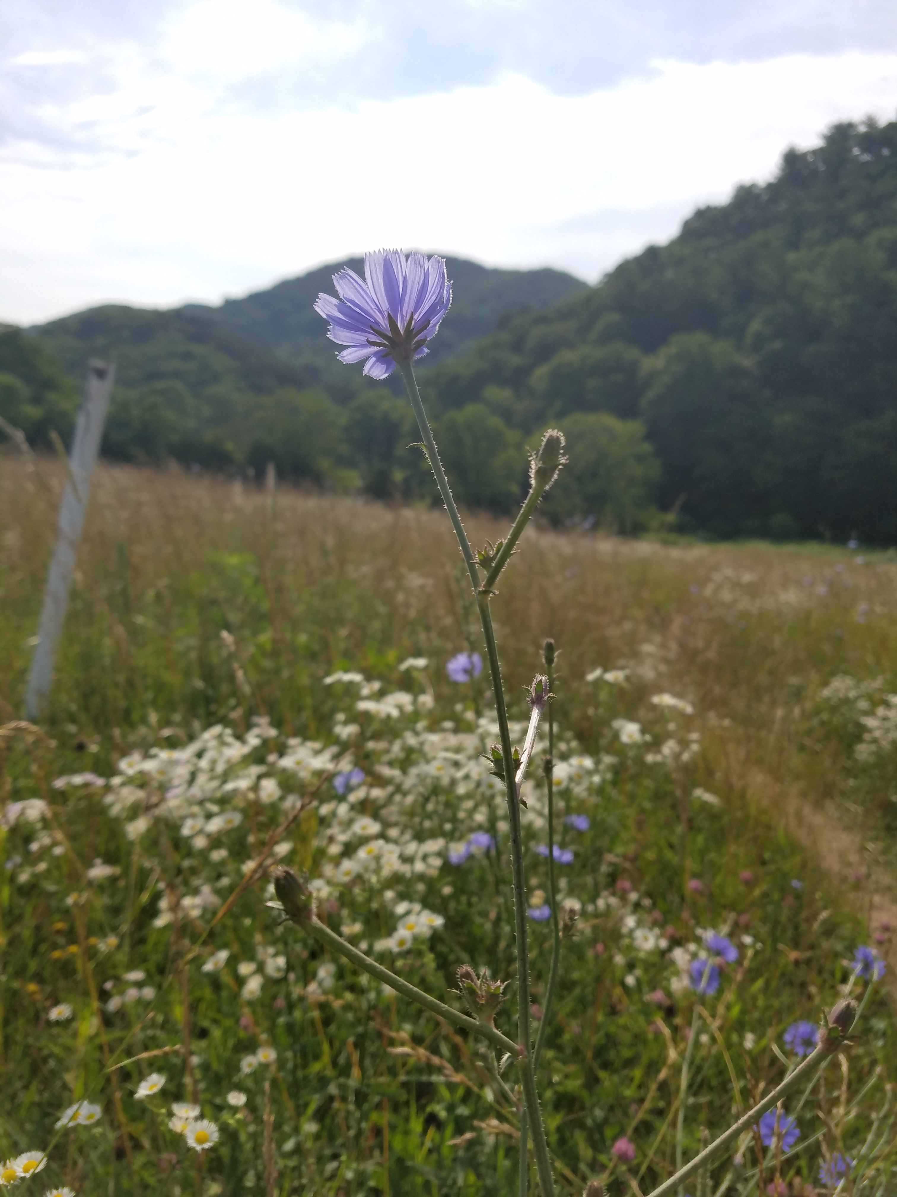
Though I sought these natural outside entertainments, they were few and far between. The entire structure of the program is meant to be distraction-free. The buildings are simple with no decoration. There is nothing to read except the Daily Schedule posted in your room or the notice board in the Dhamma Hall. I kept reading the Daily Schedule at first just to make sure I had it right, and then because there was nothing else to read. You aren’t supposed to exercise, but you can take a walk outside. There is a Women’s Walking Path in the woods that seemed like it was more of a test on your equanimity. The very second you stepped off the gravel path and into the swampy woods the mosquitos attacked you with a vengeance and military precision. I stuck to the gravel paths around the buildings which were mostly bug-free.

After three days of watching your breath and sharpening your mind with Anapana, you are taught the actual Vipassana Technique. You start by observing the sensations on your body from head to toe, going part by part. Any sensation, it doesn’t matter. Itchy, warmth, tingling, buzzing, pain, tension – it all counts as a sensation. You observe and you don’t react. You remember this will change. Everything is impermanent. My brain took this to this with alacrity. Finally something to do other than observing my stupid nose! Lol. But even then I kept getting stuck and then distracted by my thoughts.
I discovered, much to my initial chagrin, that I carry so much pain and tension in my cervical and thoracic spine. It was like a clenched fist encased in concrete. Sitting on the cushions for an hour was hard in itself, but with this pain, it became almost unbearable. I constantly wanted to slump and round my back, or alternately tense my shoulders even more to crack the spine. It kept building and at points, it felt never-ending. I was going to die in this tension – I was screaming for relief. This pain was not going to arise and pass as Goenka said – he doesn’t feel what I feel. And then something somewhere clicked. I began to distance myself from this pain. I could still feel it, but I thought I will not have a reaction. And I didn’t. It only worked for a second or two at first. Then I realized I could hold that neutrality for longer. Then something happened where my shoulders relaxed and released that tension. My neck relaxed and I felt the stretching. I noticed muscles I never “felt” before releasing their tension. And slowly, so slowly, the pain began to recede. Near the end, I was able to sit for 45 minutes without moving and maintaining neutrality for about a minute or so in spurts. And yet the last two days I still felt like a failure.
From everything I read/saw/heard before, they say the first 3 days are the hardest and most will want to leave. I found that I never wanted to leave and it was all difficult but that didn’t mean I wasn’t going to do it. In fact, I kept wondering why anyone would leave – it was boring at points, easy at others, confusing, and of course difficult, but never did I think I can’t do this or I want to leave. In turn, this made me think I must be doing the technique wrong. I’m doing this wrong! I’m a failure! Everyone else is understanding and getting it, why can’t I?!?
So it confused me that the last two days I felt worse and couldn’t stop crying. I was supposed to be happy and peaceful by now right? All the smiling faces they say you’re supposed to see at the end of the course. Something is defective with me, I didn’t get this right, right!?!? I’ve wasted all this time! I was so dug into my own misery, not seeing that the technique was working. Not realizing it quite yet. But in order to release the saṅkhāra you have to feel the saṅkhāra and not react. You have to remember your breathing and bring yourself back. You have to remember that this is all impermanent. That’s what you’ve been practicing this whole time, right?
I was so stuck in my own thoughts though, going round and round. You made a mistake coming here, should have had a fun vacation! You’re such a failure! Can’t even do something as simple as remember to look at your breath. Hey remember that time you got so drunk and fell asleep on the toilet? That was real dumb and so cringe. You know everyone doesn’t like you? How can they, they don’t even know the real you! The sad sack real you! They think you are a fat weirdo. Who would love a fat weirdo who can’t even understand simple instructions? You know what you should do? Make a plan to start a healthy routine in the morning…but you know you won’t cause it’ll just fail. You can’t make healthy choices for yourself because you selfishly want to do the easy lazy thing. You know when people try to tell you something positive about yourself? That’s you being a fat lying liar because you tricked them into believing that. ***Trumpets*** If you’ll be my bodyguard, I can be your long-lost pal, I can call you Betty, and Betty, when you call me, You can call me Al.***Piccolo solo*** SEE you can’t even get rid of this song! It’s real catchy though right? BREATHE. OBSERVE. Be aware and be equanimous.
All of that and more swirled in my head the last two days. The thing that really triggered a big storm was the Metta meditation on the last day. You’re not supposed to have any pain in your body or any gross intense sensations. Mentally, you should feel no hatred, anger, or animosity towards anyone. Then you can do this meditation where you feel loving kindness and send it out into the world. May all beings share in my merits and all that jazz.
Well, the sticky point with me was that I didn’t feel that loving kindness. I had great animosity towards myself – see above. So once again you are a failure, you can’t complete something as vibing in loving kindness? What, you don’t want to send out love? What kind of monster are you? Yeah, cry like the little baby you are. But be quiet about it, no one else cares, so don’t make any noise. I just sat on my numb legs with tears sliding down my neck and then when group sit was over went back to my room for a big ugly (but silent) cry. Noble Silence was over at this point, but still didn’t want anyone to hear.
Every day at noon you could sign up to speak with the Assistant Teacher and there were two, one for women and one for men – who “lead” the group meditations. Though, as previously mentioned, it is recordings of Mr. Goenka you are listening to, the A.T.s are there for questions about the technique as they are highly trained in it. I went to speak with my A.T. and she talked me down in a manner of speaking. She pointed out that this crying was proof that the technique was working, a release. And that as time goes on and with more practice, I’ll be able to come out of those storms quicker. Remember to breathe. Remember to be aware. Remember equanimity. I said a bunch of stuff, which she point by point addressed, and I think finally stepped out of the rote repeating of Goenka’s teachings. Talking with her was the balm that I was hoping to get from the Metta meditation. And though I still felt like an open wound, there was the seed of healing.

It’s only afterward, as I’m processing all this, that I think I expected myself to be perfect at meditation – hello! growing up as a “Gifted Program kid” – and that when I wasn’t, the recriminations started. Intellectually I knew this, but it took feeling it fully and coming out of it to experience that I can be imperfect at something and IT WILL BE OKAY. It really is absurd that I thought I’d be immediately good at this meditation. Especially since I haven’t meditated at all, in any sort of regularity, since that one year at Oglethorpe University when all the Zen monks visited from Japan and there was a meditation group. So I went into this a total hot mess and expected what? To see immediate happy results? To be “fixed”?
I laugh now, but yeah that’s what I was hoping for. I wasn’t a happy smiling face in the crowd. I was a snotty inflamed mess, but one that got to neutral – a step out of the pit. What a beautiful release to feel. And underneath all that finally hear the quiet loving voice that has been there all along saying “I love you” and really fully deeply believe it. Down to the bones. Down to the root.
So that was my imperfect unexpected experience. There is so so so much more, but that is the gist of it, and this blog post is already so so so long. If you ever decide to try Vipassana, your results will vary. Because everyone is different and constantly changing – you can’t expect anything but some amount of change going in.
But wait! There’s more!
Even though I’ve tried to wax poetic about my experience, there were still some Icks that came up (am I using that term right Gen Z?) One thing that never made sense to me was Goenka repeatedly saying that his version of Vipassana was passed down through the generations directly from the Buddha himself and kept in its pure form by practitioners in Myanmar (then Burma). It was now making its resurgence through his efforts and is a non-sectarian technique. I don’t know enough about the history of Buddhism and didn’t have Google to investigate the veracity of his claims, but you’re telling me, in the longest game of Telephone – over 2500 years – that not one person changed the wording, adding or subtracting anything? That, in essence, this technique is straight from Buddha’s mouth? I wasn’t sure about that.
With the non-sectarianism, you aren’t ever asked to give up your religion, but Goenka repeats not to mix anything with Vipassana, even when you go home. I think the idea was that you’d find Vipassana so perfect and pure that you’d eventually start to see the flaws in your current religious or spiritual practice and naturally “give it up”. But a sticking point for me was that I didn’t fully understand his version of this “pure method”. What if you don’t feel/see his version of the truth? He did say to question everything and not to accept what he says as fact. That you have to experience the truth in your own body. But what he doesn’t go into is how to integrate the parts of Vipassana that make sense to you. It seemed like an all-or-nothing deal. There was some pseudoscience bandied about as proof which sounded a little fishy to me, but I’m no scientist or expert on Vipassana so I just let most of that go.

Goenka began most of his meditations with “Start with a calm and tranquil mind”, and my irritated brain would immediately pipe up – yeah how? I need concrete steps on HOW TO DO THAT because just watching my breath is making it worse. I felt like there was a step I missed or maybe wasn’t explained properly. I mean towards the end I was able to focus more, but only through sheer willpower. Surely there has to be an easier method? When I asked the A.T. how to quiet the noise she only said to ignore it and to bring my attention back when I’ve noticed it wandered, which was…not helpful.
The A.T.s were nice and mostly helpful but never expounded in any real way on the theory. For the most part they’d just repeat what Goenka said, sometimes verbatim. It wasn’t until the last day that my A.T. branched out a bit when saw my snotty red face. But the sticky points of contention were never answered and it felt like the whole program was set up to be “one size fits all”. If it is not working, the fault is yours for not working the technique properly. But what if you are physically incapable of sitting for hours or your brain is chemically and/or structurally different? I don’t think the A.T.s are prepared to discuss those accommodations, because “Vipassana is universal and pure” and therefore needs no adjustment. Also something to keep in mind is that whatever you tell the A.T. doesn’t have to be held in confidence. They are not held to a confidentiality standard like health professionals, so one needs to tread lightly with the deeply personal stuff.
To be clear, I got the feeling that Goenka truly believed what he was teaching. Never once did I feel like I was being forced to agree with him or believe everything he said. I’ve seen some critiques of Goenka’s Vipassana saying it is a cult, but I think that’s because some of the terminology is “us vs them”. The main person who stands to gain any power or prestige – SN Goenka – died in 2013. There is no personality you are worshipping. The A.T.s stick to the script. While you are encouraged to donate for future students, they don’t hard sell the issue. And even though you are told you have to agree to stay the full 10 days, you can leave if you truly want and I saw people doing so. So I’m not really seeing the cult vibes at the Jesup Ga location. Now of course the A.T.s are not infallible and I can’t speak for the “vibes” at other centers.
There were some other deeper philosophical implications of Vipassana I’m not qualified to argue, but overall I think it is a good meditation method. It helped me focus and get a little bit quiet. I’m sure more work on that would help. Would I do it again? Probably not. I did appreciate the space and the time to really go inward and discover things I’d been ignoring or at the very least unaware of due to all the external noise. You’re given the patience to just do what you are doing and be who you are without all the outside chaos. Though I can appreciate all that, I think I got what I needed out of it and right now don’t need another course.
And what exactly did I get out of it? A meditation method that helps with recognizing signals from my body – one might even say the unconscious. A newfound devotion to finding that quiet source of love within. The focus and determination to keep a meditation practice going (now that I know it works…somewhat, still working out the finer points). I’m taking what worked and disregarding what doesn’t – just as Goenka recommended. So I guess I’m a success?

If you are thinking about going
- Read the whole website. Ask them questions if you have any.
- Maybe do a little background research on Buddhism in general.
- Make sure you are mentally fit enough. If you have any questions about this, talk to a Mental Health professional and also the center themselves. They are pretty open about what Vipassana can do for you, but it is not therapy.
- Figure out your best meditation position. Crossed legs? Kneeling? Gonna need a chair? You can bring your own meditation pillows, but it’s not necessary. They have bins of pillows/blankets there and they can provide chairs – usually just a plastic lawn chair.
- Get a massage before going and loosen up them muscles!
- Stop all caffeine, alcohol, and non-prescription drug use before going – get those detox reactions over at home – those caffeine headaches! Regarding alcohol and other non-prescription drugs: talk to your doctor before quitting. Quitting alcohol can cause severe life-threatening withdrawal symptoms that need to be monitored by a health professional. If you aren’t sure where you stand, ask your doctor.
- Speaking of drugs: bring your normal pharmacy needs – your prescriptions, your “as neededs”, your “I only use this when I get bug bites”, all of it. You can’t just dip out to CVS for whatever you need. You may want to consider bringing a saline nasal spray if you know you will be sitting in A/C and that dries out your sinuses.
- Bring a water bottle/cup. Also maybe a hot beverage tumbler?
- Bring weather gear if you’ll be walking outside.
- For those who wear bras – find the most comfy, least intrusive feeling one you can.
- This applies to the Jesup, GA location only: Women! Stay off the walking path in the swamp/woods during the hot weather (hell, probably all year round?). The mosquitos are open for business 24/7.
The End
So that’s all. You made it to end. There is more to my story and I’ll be chewing on this for a long while. But this post is surely long enough. If you have any questions about Goenka’s Vipassana, check out their website – dhamma.org. If you have any questions about your personal physical or mental health readiness, seek out professional healthcare providers. If you have any questions about my personal experience, ask away! Not sure I’ll be able to answer, but I can try.